
It's never crowded; Benicia's Bay Area Trail

Run, bike, hike, stroll along this peaceful trail.  The Benicia State Recreation Park is the gem that is probably why Benicia is called the "Jewel of the Bay".  The actual trail extends from downtown Benicia to the waterfront ending in Glen Cove.  

To access the recreation area, you can either enter from the I- 780 West off Columbus Parkway or from the 780 through the Military Exit. 

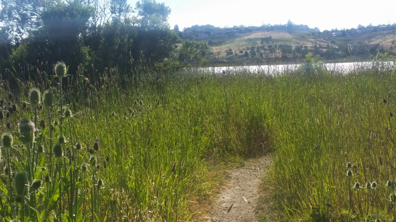
Plenty of parking is always available a nominal fee is required and payed at the entry gate through an honors system.  Two parts of the trail leads through a paved pathway or more to the waterfront a scenic walk through an ever changing meadow.


 Beautiful views of the Carquinez Straight abound the trail. 

Families, fisherman often find serene pockets to spend their day along the banks. 


The side trails are abundant with the varietals indigenous to California.


Blackberries grow throughout Benicia, during summer bring a basket to gather  fresh fruit.

The beauty of  Benicia's Bay Trail is the conservation of the Marshland. During the Spring bright colors paint the landscape. 
What is normally called weeds in neighborhood of homes lives freely in the Benicia State Park. 
The Hills bloom with a varietal of green grasses and trees.

It is a perfect blend of the California Coastline featuring the evergreens and seasonal trees.


The Benicia State Park lends itself to a peaceful walk.  At times, the bay is filled with calm sailing.  The flowering grasses is always evolving, ideal for both the hobbyist photographer and the professional.


 Additional highlights include outdoor circuit training that an occasional exercise enthusiast will utilize.  You will see park benches, and picnic tables in spread throughout.  The walk towards Glen Cove includes spots to have a barbecue or a party.  Check with the City of Benicia for camping spots.  


Comments

Popular posts from this blog

Cull Canyon Trail Challenge 2018 -the dog's blog

This my husband and my second day trying the  East Bay Regional Park District Trails Challenge.   Today we tried the Cull Canyon Trail: Cull Canyon Regional Recreation Area Chabot to Garin Regional Trail/Cull Canyon Road/Heyer Road/Service Road/ Lake View Trail/Columbia Drive Length: 2.25-mile loop Elevation: 350 feet Location: Castro Valley GPS: 37.710479, -122.055430  We picked this trail because we could bring the dog with us, and it is described as shaded trails, shallow creek crossings, ridge-top breezes.  Sounds good.  We have a family Welsh Corgi who does not like the heat.  He is always enthusiastic about a walk, but if the weather is too hot, he stops at every piece of shade possible.   In addition to the trail, the park has a beautiful swimming spot and tables for picnickers.  Today was Memorial Day, it was filled with visitors.  This is the beginning of the trail.  So far so good....

The Castello di Amorosa

Castle Winery in Napa Valley Castello di Amorosa is an authentic Tuscan castle in the Napa Valley here they make authentic Italian Style wines.  Two thirds of the Castello is underground featuring 8 levels where 4 levels are above ground.  There are 107 rooms , 121,000 square feet, 3 acres.  200 containers were brought from Europe filled with old materials, furnishings, antiques, bricks.  The owner designed the castle to reflect a medieval atmosphere to include a drawbridge, towers, courtyards and even a moat.   It has a deep well, and a church.  The Great Hall is used for dinners and filming.  The greatest feature is their massive collections of wine both new and the spoiled that line the wall.   The owner added one unique touch, a prison and torture chamber. The Castello di Amorosa specializes in small lots of wines sold only at the winery.  Castello di Amorosa  "The Castle of Love" designed with love by Dario Sattui...

Waterbird Regional Preserve: Meadowlark Ridge Loop

We got around to the Trails Challenge 2018 today.  The Trails Challenge is celebrating it's 25th anniversary this year.  Over 10,000 people participate to explore the Bay Area's regional parks and to stay fit outdoors.  The program is free and works in   partnership between the East Bay Regional Park District,  Kaiser Permanente , and the  Regional Parks Foundation . No registration is required, a free t-shirt and guidebook is available at participating visitor's centers if supplies are still available.  However, the guidebook is online and completely down loadable.  The Guidebook includes detailed trail descriptions for hikes in 20 Regional Parks or Trails. Hikes range from easy to challenging. There are trails open to hikers, bicyclists, dogs, and equestrians, and many are wheelchair accessible. To complete the challenge, hike five of the trails – or 26.2 miles of trails. They also have a trails app that is down loadable on...